
Hercules
Gold Project
A 10,368 ha epithermal gold-silver property in the Walker Lane, 40 km southeast of Reno.
10,368ha
Land package
36holes
StrikePoint RC drilling
396holes
Historical drilling
11areas
Mineralized target areas
Overview
A District-Scale Epithermal System
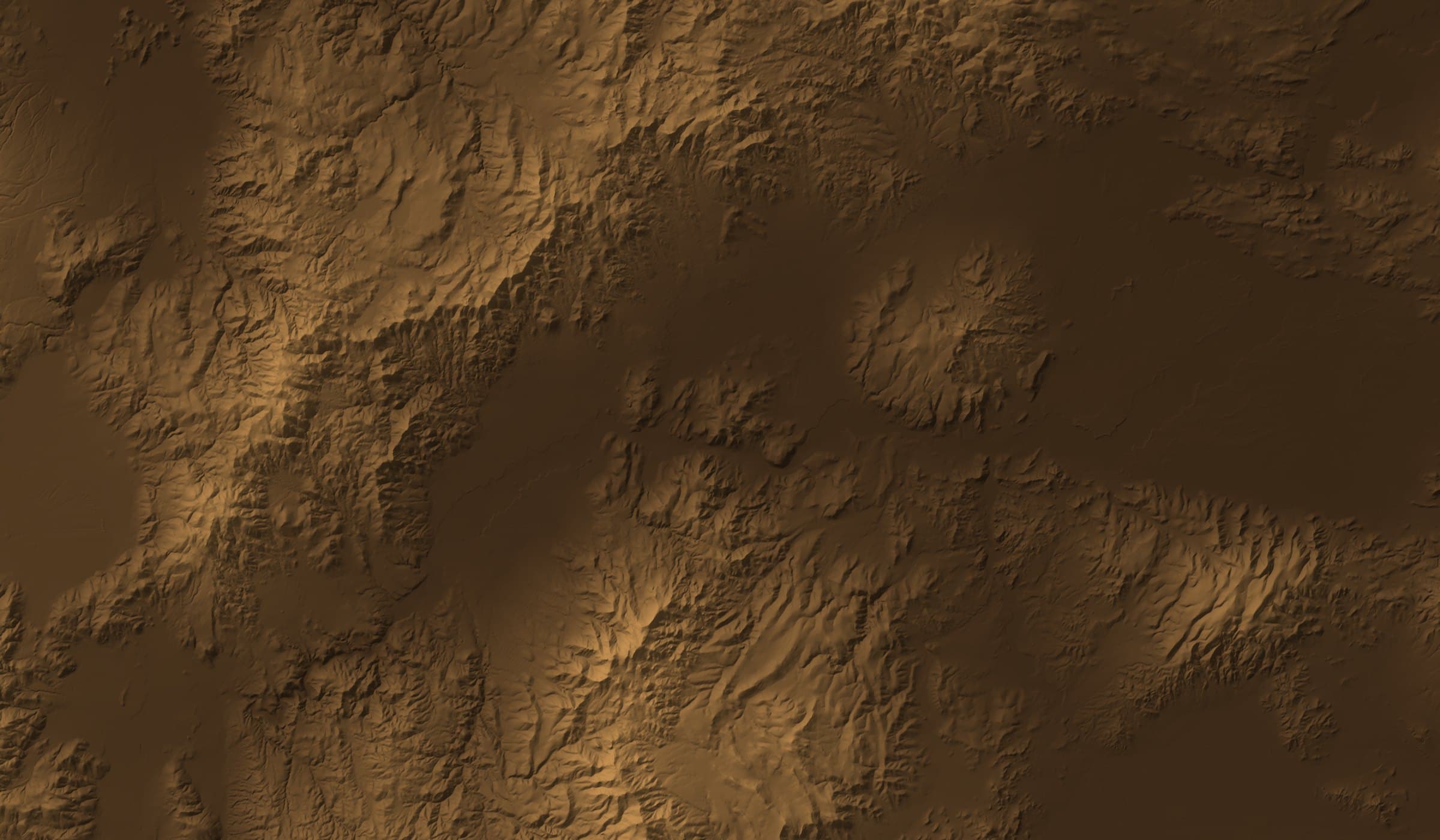
Hercules sits in the Pine Nut Range of Lyon County, 20 km east of the historic Comstock mine. The property hosts multiple gold-silver vein and breccia zones with both high-grade fissure veins and lower-grade, potentially bulk-mineable mineralization.
StrikePoint acquired Hercules in August 2024 and added the Como Claims from a Newmont subsidiary in February 2026. Drilling has confirmed broad, near-surface mineralization that remains open laterally and at depth.
- Location
- Lyon County, Nevada, about 40 km southeast of Reno
- District
- Northeastern Como Mining District, Walker Lane trend
- Ownership
- 100% StrikePoint, via Alcmene Mining Inc.
- Land package
- 10,368 ha: 1,374 unpatented and 4 patented claims
- Access
- Dayton Valley Road from U.S. Highway 50, year-round
- Acquired
- August 30, 2024; Como Claims added from Newmont in February 2026
Conceptual Exploration Target · APEX 2026
A Bulk-Tonnage Exploration Target
Built from recent and historical drilling and trenching across seven target areas. The Como area was not included.
Tonnage range
39.8 – 68.7Mt
Gold grade range
0.46 – 0.61g/t Au
Untested geophysical targets
45targets
The potential quantity and grade of the Exploration Target is conceptual in nature. There has been insufficient exploration to define a mineral resource, and it is uncertain if further exploration will result in the estimation of a mineral resource. The Exploration Target has not been evaluated for reasonable prospects of eventual economic extraction and should not be construed as a mineral resource or reserve. Ranges reflect Au cut-offs of 0.2 g/t and 0.3 g/t. Prepared by Michael B. Dufresne, M.Sc., P.Geol., P.Geo., of APEX Geoscience Ltd.
Geology & mineralization
Stacked Veins in the Walker Lane
Hercules is underlain by Miocene volcanic flows, pyroclastic rocks and volcaniclastic sediments. Northeast-trending en-echelon faults host quartz veins and vein breccias within strongly silicified rock, with evidence of multiple hydrothermal episodes.
Four main zones, Cliffs, Hercules, Northeast and Loaves, share the structural and stratigraphic controls of the Como district. Loaves likely extends from Cliffs, and Northeast from Hercules.
1,100–1,200m
Strike length of the main zones
250–350m
Width
200m
Vertical extent, up to
Mineralized target areas
Drilling
Broad Zones, Open to the South
StrikePoint has completed 36 RC holes totalling 5,353.6 m. Cliffs hosts the broadest, most continuous mineralization found to date.
117.35m
at 0.45 g/t Au in H25005, Cliffs
114.30m
at 0.69 g/t Au in H26004, Cliffs
2km+
Mineralized corridor north to Lucky Rusty
StrikePoint Drilling, 2025–2026
| Hole | Target | From (m) | Length (m) | Au (g/t) | Ag (g/t) |
|---|---|---|---|---|---|
| H26004 | Cliffs | 135.64 | 114.30 | 0.69 | 5.03 |
| including | 153.92 | 9.14 | 2.95 | 16.18 | |
| H25005 | Cliffs | 187.45 | 117.35 | 0.45 | 3.55 |
| including | 210.31 | 12.19 | 2.17 | 9.55 | |
| H25006 | Hercules | 0.00 | 10.67 | 1.17 | 18.13 |
| including | — | 6.10 | 1.90 | 29.90 | |
| H25004 | Hercules | 0.00 | 32.04 | 0.54 | 4.62 |
| including | — | 6.10 | 1.50 | 11.75 | |
| H26018 | Hercules | 7.62 | 13.72 | 0.76 | 1.66 |
| including | 13.72 | 1.52 | 5.94 | 5.20 | |
| H26011 | Hercules | — | 21.34 | 0.62 | 8.60 |
Selected Historical Intercepts
| Hole | Target | From (m) | Length (m) | Au (g/t) | Ag (g/t) |
|---|---|---|---|---|---|
| CA-4 | Como (Elgin Vein) | 92.96 | 28.96 | 2.41 | 14.88 |
| including | 94.49 | 12.19 | 5.02 | 32.23 | |
| H20040 | Cliffs | 184.40 | 39.62 | 1.12 | 5.38 |
| including | 185.93 | 6.10 | 5.04 | 14.93 | |
| H20010 | Hercules | 27.43 | 89.92 | 0.65 | 12.51 |
| including | 51.82 | 30.48 | 1.10 | 26.17 | |
| H1204 | Cliffs | 86.87 | 3.05 | 24.88 | 11.52 |
| H20031 | Hercules | 0.00 | 30.48 | 1.63 | 18.27 |
All intervals are downhole lengths. Historically, true widths at the Hercules, Cliffs, Northeast, Loaves and Rattlesnake targets were estimated at 60% to 90% of downhole length; true widths for recent drilling and at the Sirens and Como targets are unknown. H26011 ended in mineralization. Historical results are from drilling by previous operators and are summarized in the 2026 Technical Report.
History
Explored for Over a Century
27 diamond and 369 RC holes, totalling about 46,200 m, were drilled before StrikePoint.
- 1850s–60sComo districtProspecting begins, then is largely abandoned after the Comstock Lode discoveries nearby.
- Late 1880sHercules Mining Co.Underground workings are developed and mineralized material is reportedly mined and shipped.
- 1968–2022Modern explorationMore than 15 companies, including Amax, Phelps Dodge, AngloGold and Teck, map, sample and drill the property.
- 2024–26StrikePointStrikePoint acquires Hercules, drills 36 RC holes and adds the Como Claims from Newmont.
Recommended work
A Two-Phase Program
The 2026 Technical Report describes Hercules as a property of merit and recommends the following work.
Phase 1
About US$770,000
- About 1,750 m of drilling, including step-outs south of the Cliffs target
- Validation of historical Como data
- Geochemical sampling and mapping on the Como Claims, including the Elgin vein
Phase 2 · contingent on Phase 1
- Follow-up sampling and drilling at Hercules
- Drill testing of the Sirens, Pony Meadows, Como-Comets and Como targets
- Evaluating the potential for an initial Mineral Resource Estimate
Recommendations are those of the Technical Report authors. There is no certainty that further exploration will result in the Exploration Target being delineated as a Mineral Resource.
Maps & figures
Explore Hercules
Select a figure to view it, or enlarge it for detail.
Documents
Reports & Resources
Scientific and technical information on this page is derived from the NI 43-101 Technical Report on the Hercules Gold Project, Lyon County, Nevada, USA, dated June 30, 2026 (effective June 2, 2026), prepared by Michael B. Dufresne, M.Sc., P.Geol., P.Geo., and Fallon T. Clarke, B.Sc., P.Geo., of APEX Geoscience Ltd., who are independent of StrikePoint.